|
Getting your Trinity Audio player ready...
|
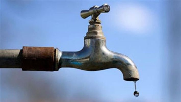
Desertification is fast encroaching on more areas in Nigeria’s north, even though land under cultivation should be increasing, a situation likely to worsen low water supply for agricultural production that parts of the region is known for.
To cope with droughts and reverse desertification, in addition to geospatial technologies, farmers can also benefit from very simple solutions, noted José Graziano da Silva, FAO Director-General.
In this regard, he cited the 1 million cisterns project to storage rainfall as a good example. “This is very simple. You store the rainfall water under your house making it available for drinking and for animals all year round,” he said.
On Monday, FAO launched a revamped version of WaPOR, an open-access database tapping near real time satellite data to monitor land and water productivity in Africa and the Near East. Data from WaPOR, initially launched in 2017, helps policy makers and farmers to make informed decisions to be better prepared for drought and increase agricultural production with less water use.
Unlocking the potential of agricultural innovations, be it simple solutions or satellite-based technologies, will help prevent a drought from turning into famine and forced displacement and to reverse desertification, noted Graziano da Silva.
Also in the Sahel region, FAO says along with its partners, they are supporting the African Union to establish the Great Green Wall- Africa’s flagship initiative to combat land degradation, desertification and drought. The plan is to surround the Sahara with a wide belt of vegetation, trees and bushes in order to green and protect the agricultural landscape, preventing the desert from advancing.
“This measure is helping us to stop desertification which is one of the main reasons of growing conflict between pastoralists and farmers,” he added.
In addition, the development of innovative applications and portals in recent years can bring accessible and actionable information directly to the farmers’ hands.

CALEB OJEWALE